- Title
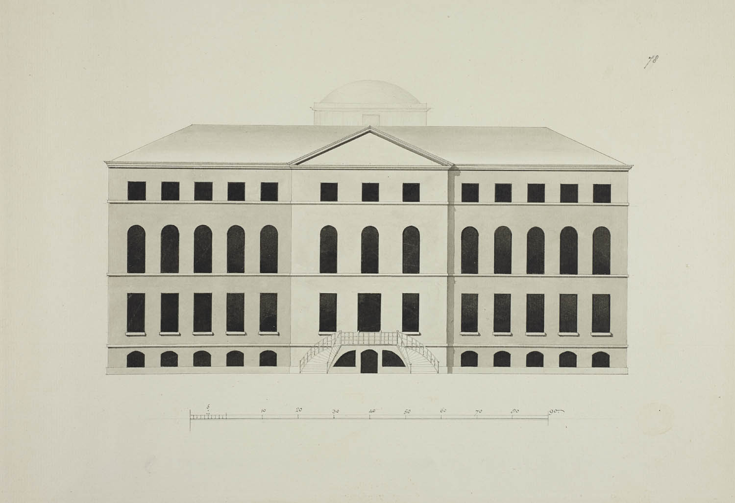
- [Elevation of an unidentified building].
- Publication details
- [about 1740-1760]
- Physical details
- 1 drawing : pen and black ink with monochrome wash and pencil ; sheet 26.8 x 39 cm
- Description
- Elevation of a large building. Scale along the lower edge.
- Place
- England
- Additional information
- Unrecorded in the Catalogue of Maps, Prints, Drawings, etc., forming the geographical and topographical collection attached to the Library of his late Majesty King George the third, etc, London, 1829.
- Shelfmark
- Maps K.Top.124 Supp.fol.78.